Meteorological and oceanographic studies
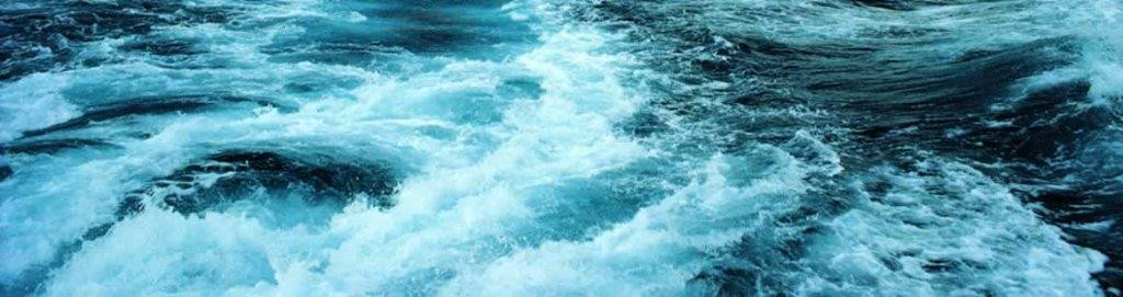


Meteorological and oceanographic studies
Meteorological and oceanographic information is a key requirement for location approvals, transportation design, structure design and weather-limited operations. For more than 35 years, our London-based metocean department has been a global centre of excellence, providing thousands of reports to the marine and offshore industries, and describing the meteorology and oceanography of locations all over the world. DNV GL offers a complete range of cost-effective metocean solutions, and a fast turn-around, including:
Spot location reports
A concise metocean report based on freely-available data and suitable for rapid assessment of offshore units at any single offshore site for any season, direction or return period.
Transportation criteria
Design criteria for marine transportation projects, taking account of method of transportation, departure date, proposed route and vessel speed. Our method has been developed over many years and draws on the experience of the Noble Denton group as engineering consultants, designers and marine warranty surveyors, as well as metocean specialists.
Design studies for offshore structures
Using ISO-compliant methods to derive Hmax and crest, IFORM contours, associated extremes, calibration of hindcast with available measurements and numerical modelling as needed.
Tropical cyclone analysis
Analysis of tropical revolving storms for the calculation of design winds, waves and currents. Including numerical modelling of cyclones as required.
Metocean criteria for operation planning
Waiting-on-weather and spells analysis, frequency tables and feasibility maps to help planning offshore operations.
Numerical modelling
Using Mike 21 FM and SW models, developed by the Danish Hydraulics Institute (DHI). These state-of-the-art numerical models simulate flows and waves in estuaries, coastal areas and seas, using a cell-centred finite volume method for spatial discretisation. Numerical modelling is used to produce high quality waves and flows across wind farms, along pipelines, in coastal areas or within harbours, and can also be applied to derive cyclonic waves, surges and currents.
What we offer:
Fast turn-around
Offshore structure design studies
Shallow water design studies
Coastal engineering studies
Cyclone analysis
Waiting-on-weather and spells analysis
Feasibility maps
MIKE21 hydrodynamic and spectral wave
Additional support from mariners and engineers at DNV GL offices worldwide
More than 35 years' experience - over 10,000 reports for sites all over the world
Quality management system to ISO 9001- 2000 standard
Data archive and library
Specialised consultancy.
- Region: Asia
- Country: Singapore
- {{ error }}
- Request sent successfully.